Geomorphology
last modified
Apr 09, 2008 02:56 PM
 |
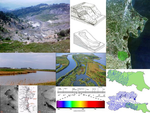
The curriculum in Geomorphology is focused on the study of landscape dynamics, considering planetary changes as well as the landscape’s interaction with human activities. The research themes include slope stability problems, river and coastal environments, the study of which will provide important information to territorial planners. Techniques used range from geological/geomorphological mapping to fieldwork. Essential methods include Remote Sensing and the use of GIS (Geographical Information Systems), techniques that have undergone a rapid development in the last 20 years, both in pure and applied research. |


